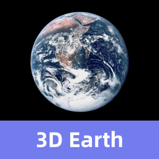
Features 3D Earth - 3D Map and Terrain
3D Earth is a new 3D Earth satellite map software, with powerful design functions and geographic information display technology, which can meet the needs of geographic information planning in all walks of life。3D Earth has the following functions:1.
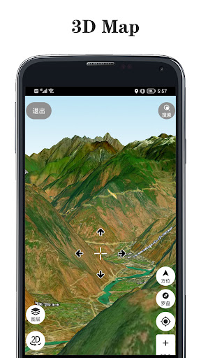
3D mapCombined with satellite images and elevation data, 3D modeling can be carried out automatically and quickly.
Excellent 3D loading and display engine can show you the real terrain smoothly。2.
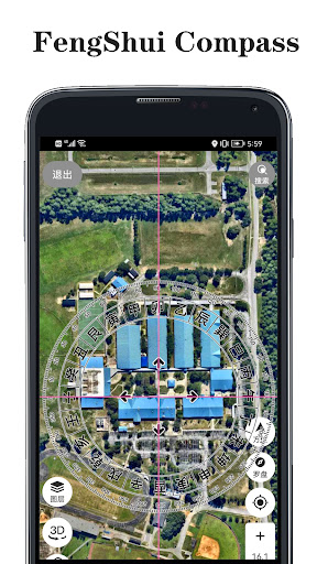
Geographical planning3D Earth provides you with common tools for planning and design.
You can draw points, lines, polygons, circles, curves, marks, fill areas and so on。3.
High definition satellite mapUpdate the latest high-definition satellite images all over the world。4.
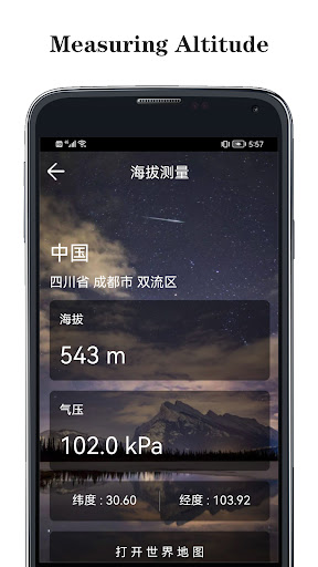
Elevation data (contour line)New detailed elevation data to meet all the needs of your outdoor activities。
Gaming Features
Enjoy immersive gaming experience with various game modes.
Travel Features
Plan and manage your travels with ease.
News & Updates
Stay informed with the latest news and updates.
See the 3D Earth - 3D Map and Terrain in Action
Get the App Today
Available for Android 8.0 and above